High Performance Computing
SURF: a ground-breaking project in oceanographic simulation
Date:
Date:
Changed on 13/04/2021
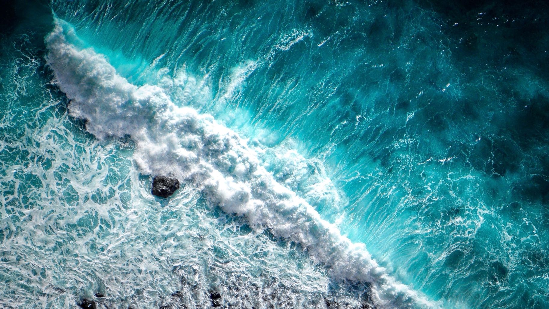
Understanding the dynamics of the oceans is a key scientific issue. It has many applications in coastal zone management, the regulation of maritime traffic and the prevention of ecological, meteorological and industrial risks. While scientific computing is now one of the most widely-used tools to explain or predict changes in the ocean, simulation tools are still reserved for specific purposes. The SURF project brings together several Inria teams that are pooling their expertise to develop a common platform for computing oceanic flows in littoral and coastal zones.
“Through the SURF project, launched in early 2019, we are seeking to integrate various Inria skills to obtain oceanographic simulation tools combining global and local models, and define simulation strategies best suited to the situations being studied,” explains Arthur Vidard, the project developer with the Airsea team in Grenoble. This ground-breaking project addresses current challenges, particularly in the area of ecology, since it will help detect extreme weather events.
Coastal storms are devastating and are currently hard to predict because they combine several events: high tides, wind, floods, etc. Assessing and anticipating their consequences through simulation requires a combination of several types of modelling and multiple scales (gulf, coasts, estuaries, etc.).
SURF addresses three scientific issues: the coupling of digital tools, the reduction of simulation times and assessment of uncertainties in the calculations.
One of the issues SURF researchers are working on is the coupling of digital tools for specific configurations. “We have various tools we can use to compute oceanic flows,” Arthur Vidard explains. “Croco”, for example, provides information about flow magnitudes (pressure, speed, etc.) by solving fluid mechanics equations (deduced from the Navier-Stokes model) with a specific numerical method (finite difference). “Uhania” integrates these quantities in a certain direction (depth) and uses another model (finite elements). It can therefore take local effects of the coast into account. These simulation tools are therefore dedicated to different geometries and numerical methods. “We will need to qualify them by designating their respective areas of validity, while at the same time developing ‘coupling strategies’, in other words, combining them in order to obtain realistic simulations,” he explains. “These tools will be supported by other models, like ‘Freshkiss3d’, which are more mathematically rigorous, but more difficult to use for realistic applications. ”
Climate and ecological issues require the development of tools combining coastal, inshore and even river models. This is one unique aspect of this project. The mature and effective digital tools and high-performance computing (HPC) methods make it possible to obtain complex simulations that were unthinkable only a few years ago. Data from increasingly precise oceanographic observations are now available on a massive scale.
All the conditions for developing approaches combining different digital tools have been met.
The simulations are based on numerical methods and cannot account for all the physical phenomena involved in oceanic flows. Since eddies smaller than the computing grid cannot be represented, the simulations use “subgrid-scale models” that model the effects small eddies, not included in the computations, have on bigger ones. SURF is also seeking to improve the accuracy of “subgrid-scale models”.
To do so we will use high-resolution radar observations of currents, waves, etc. Data processing techniques called ‘data assimilation’ make it possible to perform the analysis needed to develop physical models of small eddies.
However, radar observations generate large quantities of data, which can potentially be altered by noise. Researchers must therefore develop suitable processing methods, which is why data assimilation is a key issue for the SURF project.
The final component of the project is measuring uncertainties. “The goal is to understand the sources of computing errors or inaccuracies. Statistical processing can measure the reliability of a simulation’s results. More specifically, we seek to understand how the simplification introduced by ‘sub-grid models’ affects the accuracy of the computations,” Arthur Viard explains.
Measuring the uncertainties in computations requires an analysis of data from numerous simulations that cover as many cases as possible. The challenge is to limit the computation times for each case as much as possible. Specific “model reduction” techniques, aimed at achieving the best possible representation of flow physics with a minimum amount of unknown figures to calculate, help considerably reduce simulation times.
This will be decisive in assessing the uncertainties. For example, we will be able to rapidly assess how an uncertain parameter will affect the results of a computation. Furthermore, although reduced models may prove effective in predicting oceanic dynamics in common situations, we do not yet know how they will perform during exceptional occurrences (storms, high tides, floods, etc.), which is a topic for specific study.
Given the multitude of scientific questions the SURF project raises, it requires a wide range of skills. The project involves complementary teams that each intervene at specific stages in the project. Airsea, in Grenoble, provides expertise in oceanic modelling and the coupling of models with very different spatial and temporal scales. Cardamom, in Bordeaux, works on the models and numerical methods, as well as the uncertainty involved. Ange, in Paris, and Lemon, in Sophia Antipolis, help with the modelling of coastal flows in shallow waters and the coupling between ocean and river models. Fluminance, in Rennes, develops statistical image processing techniques to provide input for “subgrid models”. Finally, there are the theoretical skills related to measuring uncertainties and the partial differential equations, the respective areas of expertise of Defi in Saclay and Mingus in Rennes.
Numerical analysts, physicists, statisticians, over fifteen Inria researchers from the teams listed, plus three PhD students, one postdoctoral researcher and a research engineer are contributing to this SURF. Over the course of this four-year project, they will also be working with the French Bureau of Geological and Mining Research (BRGM), the French Bureau of Geological and Mining Research (SHOM) and Ifremer, which will participate in developing and validating models and providing input on coastal safety issues.
Inria expects several outcomes. SURF will help improve the quality and reliability of simulations and predictions, develop means of model qualification and establish more robust methods to contribute to the choice of forecasting system for oceanography.
We will also be able to streamline our use of simulation tools: this will involve maintaining the diversity of approaches while developing common practices and interfaces for a large scientific community.
*Bureau de recherches géologiques et minières (French Bureau of Geological and Mining Research)
** Service hydrographique et océanographique de la Marine (French Bureau of Geological and Mining Research)
After a Master’s Degree in fundamental mathematics and a Postgraduate Degree in applied mathematics from Université Joseph Fourier in Grenoble, Arthur Vidard began his career as a researcher in 2001 with a PhD on data assimilation techniques. He further pursued his research in this field for four years with the European Centre for Medium-Range Weather Forecasts (ECMWF) in Reading (United Kingdom). The researcher joined the Inria Grenoble teams in 2006 to develop data processing methods there (inverse problems, sensitivity analysis, optimal control) applied to oceanographic simulations. After earning his accreditation to supervise research in 2012, he is now leading the SURF for the Airsea, which develops numerical computing methods or the oceanic and atmospheric flows.